

.jpg)
Market Harborough is a market town within the Harborough district of Leicestershire, England.
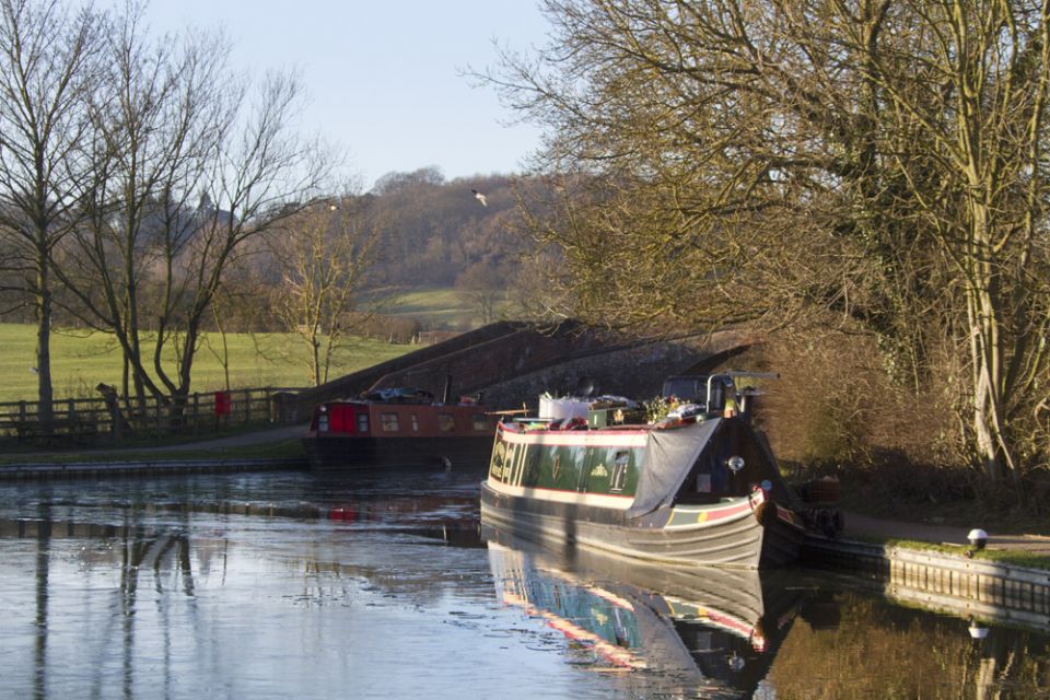
It has a population of 20,785[1] and is the administrative headquarters of Harborough District Council.[2] It sits on the Northamptonshire-Leicestershire border. The town was formerly at a crossroads for both road and rail; however the A6 now bypasses the town to the east and the A14 which carries east-west traffic is 6 miles (9.7 km) to the south. The town is served by East Midlands Trains with direct services toLeicester, Nottingham, Derby and St Pancras International. Rail services to Rugby and Peterborough ended in 1966.
Market Harborough is located in an area which was formerly a part of the Rockingham Forest, a royal hunting forest used by the medieval monarchs starting with William I. Rockingham Road takes its name from the forest. The forest’s original boundaries stretched from Market Harborough through to Stamford and swallowed up Corby, Kettering, Desborough, Rothwell, Thrapston and Oundle.
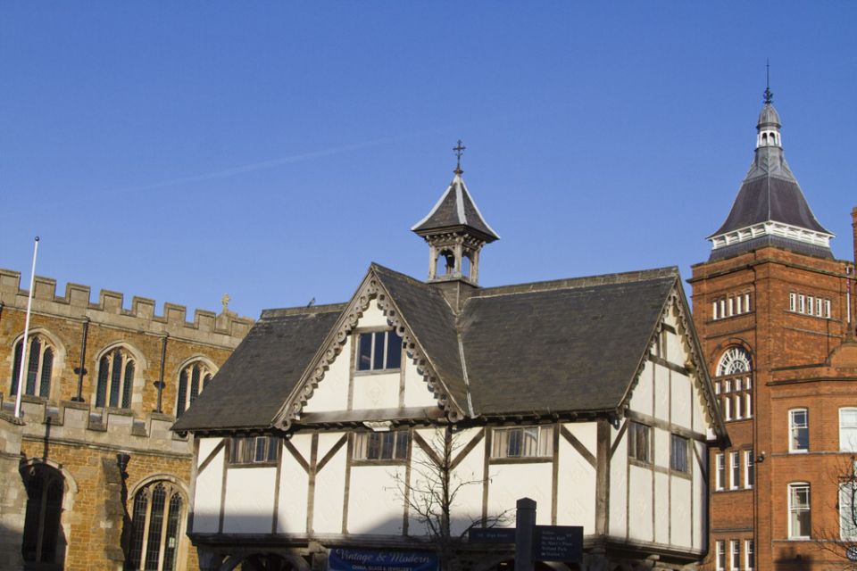
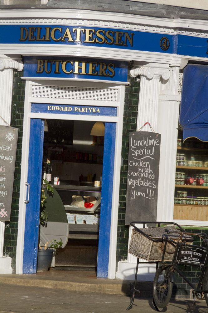
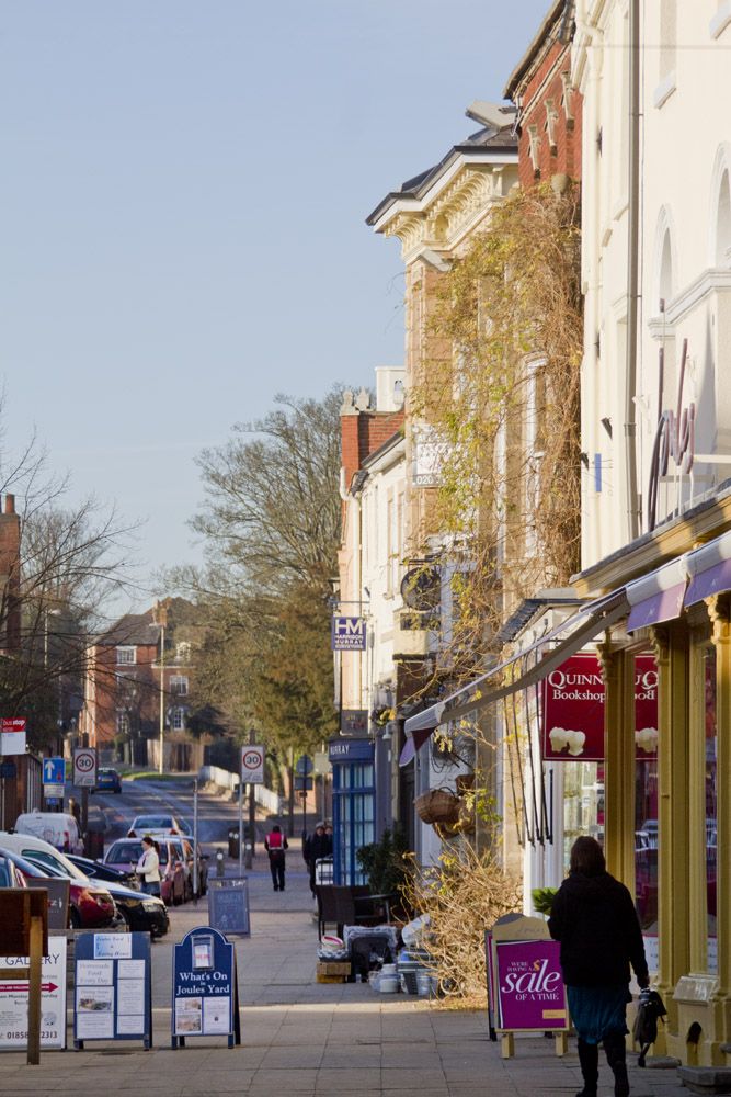
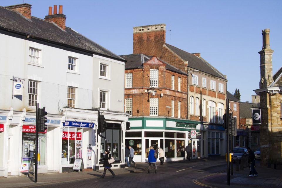
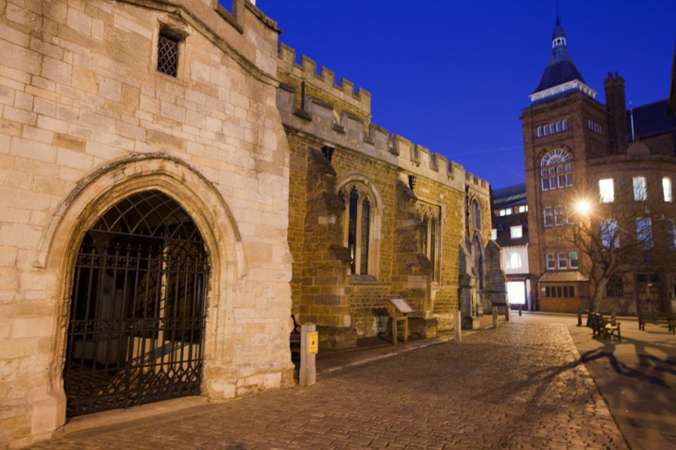
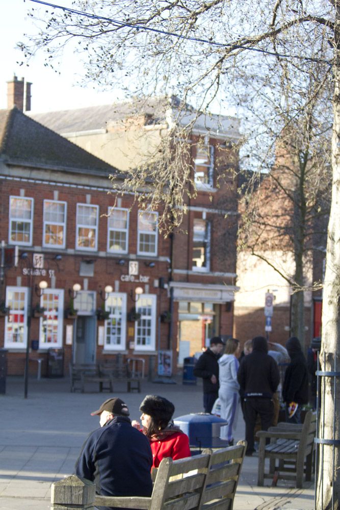
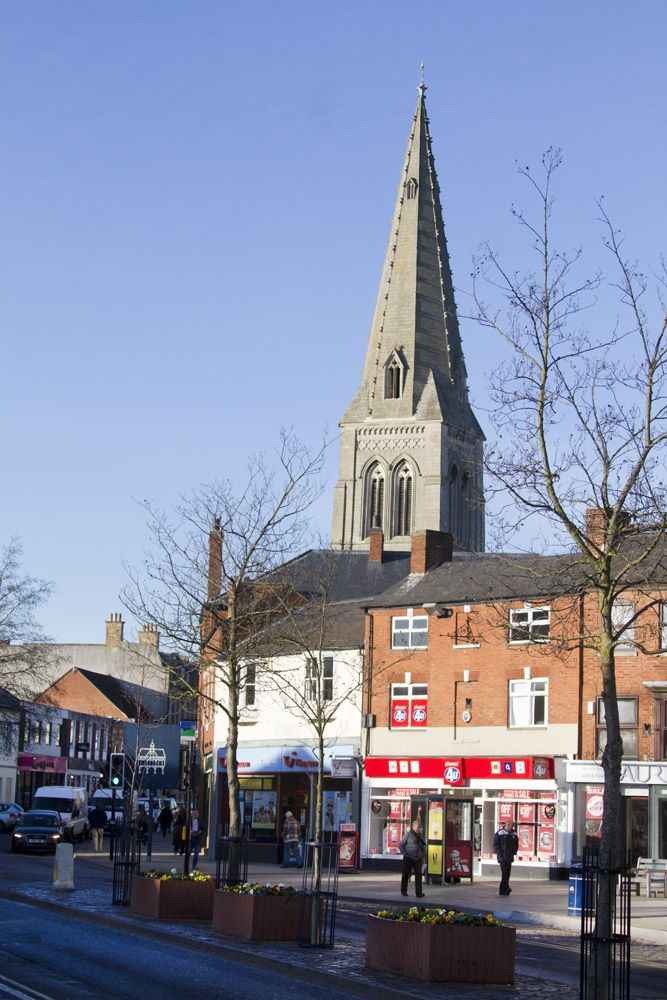
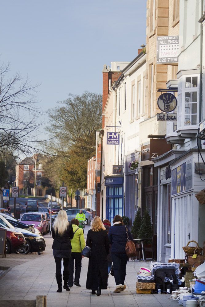
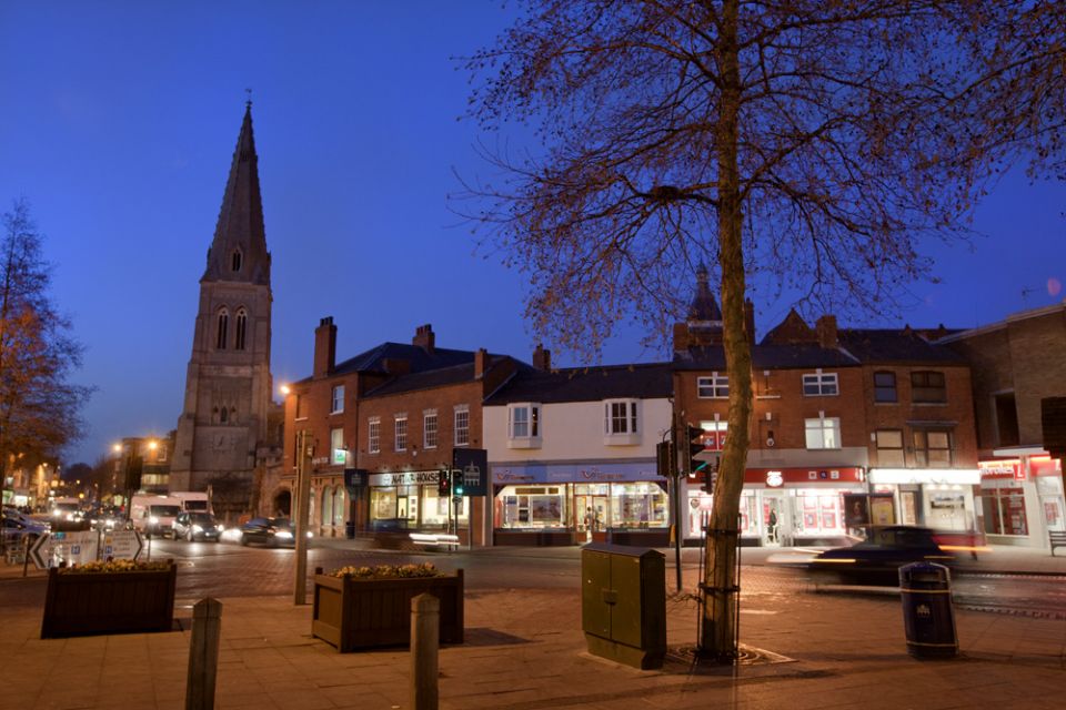
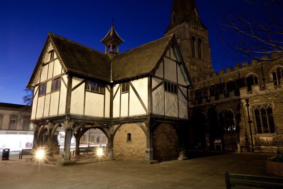
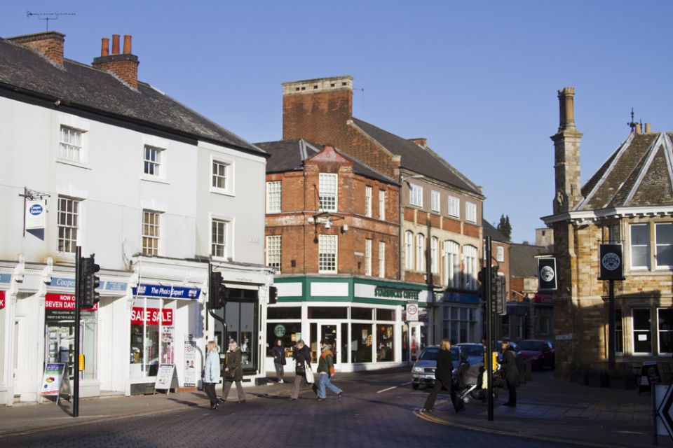
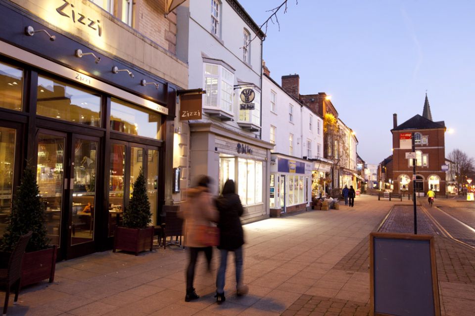
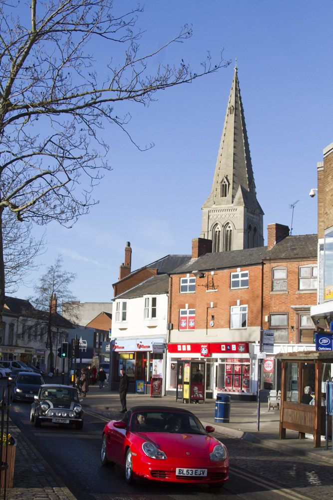
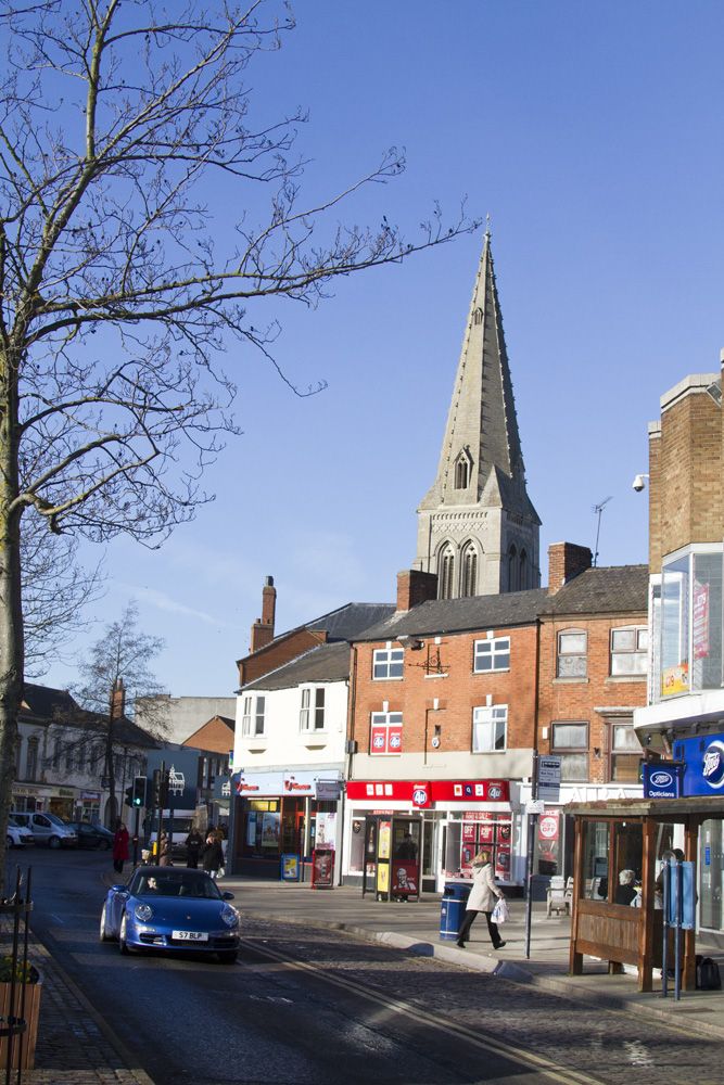
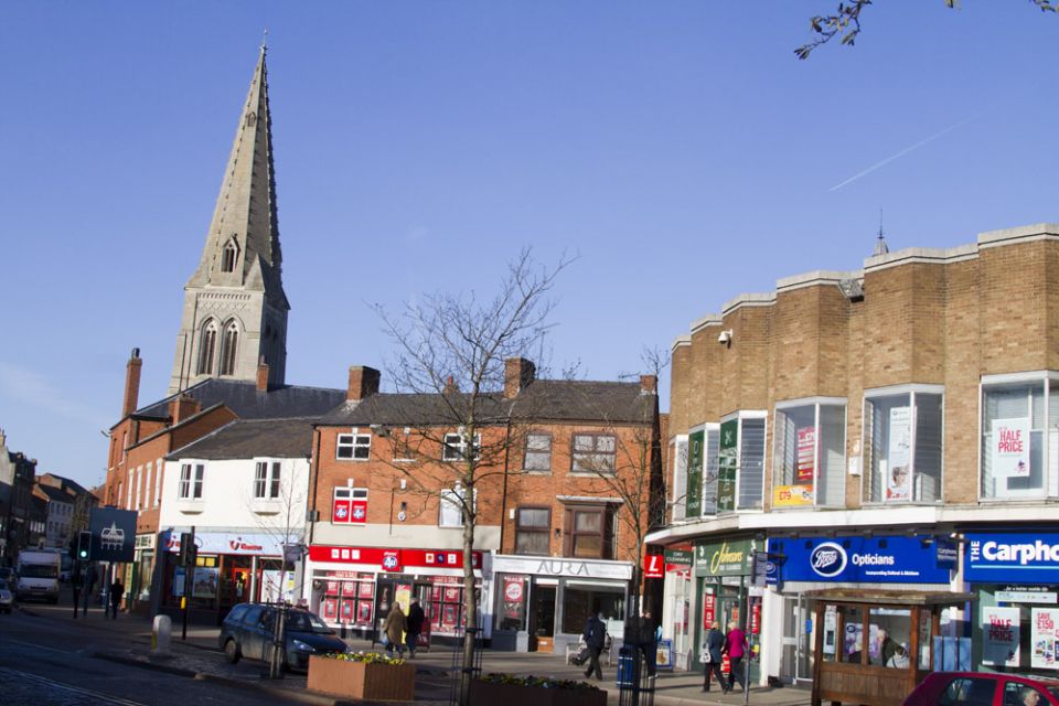
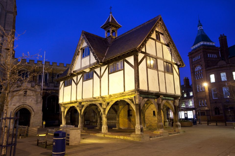
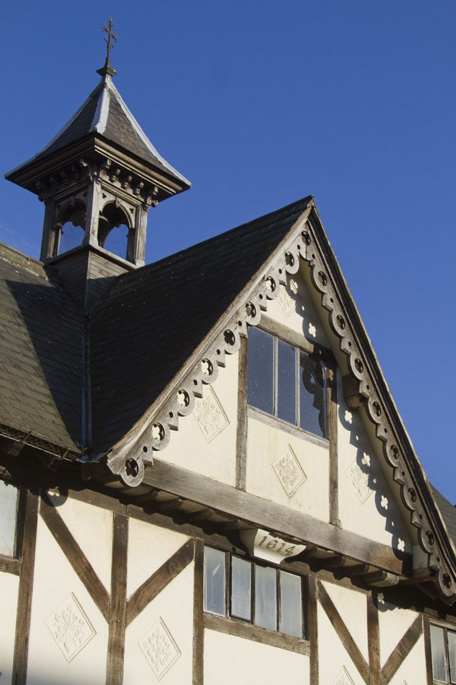
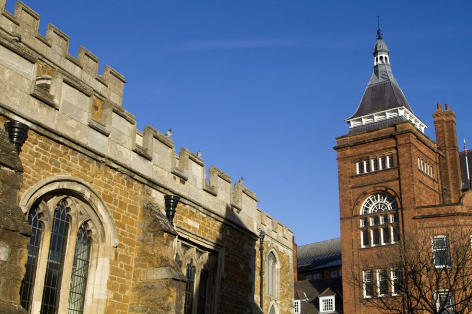
The centre of the town is dominated by the steeple of St. Dionysius Parish Church which rises directly from the street, as there is no church yard. It was constructed in grey stone in 1300 with the church itself a later building of about 1470. Next to the church stands the Old Grammar School, a small timber building dating from 1614. The ground floor is open, creating a covered market area and there is a single room on the first floor. It has become a symbol of the town. The nearby square is largely pedestrianised and surrounded by buildings of varying styles. The upper end of the High Street is wide and contains mostly unspoiled Georgian buildings.
Market Harborough has two villages within its confines: Great Bowden lies over a hill about a mile from the town centre; Little Bowden is less than half a mile from the town centre. The three centres have largely coalesced through ribbon development and infill, although Great Bowden continues to retain a strong village identity.